File:Map select.png
Jump to navigation
Jump to search
No higher resolution available.
Map_select.png (407 × 332 pixels, file size: 19 KB, MIME type: image/png)
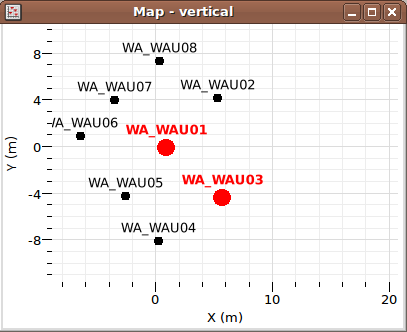
Snapshot of selected stations in a map viewer
File history
Click on a date/time to view the file as it appeared at that time.
| Date/Time | Thumbnail | Dimensions | User | Comment | |
|---|---|---|---|---|---|
| current | 12:51, 8 March 2010 | | 407 × 332 (19 KB) | Clotaire Michel (talk | contribs) | Snapshot of selected stations in a map viewer |
You cannot overwrite this file.
File usage
The following page uses this file: